Miles of Silence: A Road Trip Through America's Connectivity Dead Zones
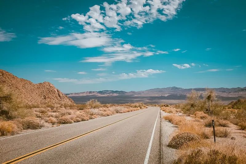
Photo: John King johnking, CC0, via Wikimedia Commons
Somewhere around mile marker 190 on Interstate 70 in eastern Utah, my phone did something it hadn't done in years: it gave up entirely. Not one bar, not 'No Service' flickering back to life every few minutes — just a blank slate of nothing, for the better part of two hours. I pulled over at a scenic overlook, took a photo I couldn't post, and realized I'd entered one of America's signal deserts.
Most of us think of dead zones as a restaurant problem. Basement of a hotel, back corner of a Costco, that one aisle in the grocery store. But the true dead zones in this country aren't rooms — they're regions. Entire corridors of interstate, sometimes a hundred miles long, where the cellular map goes dark and stays dark.
The Map Nobody Wants You to Look At
If you've never studied the FCC's National Broadband Map closely, it can be a humbling experience. Zoom out from the coasts and the metro corridors, and the coverage looks like Swiss cheese. Patches of 4G and 5G cling to cities and highway interchanges, and between them sit vast swaths of gray — areas where the big three carriers (Verizon, AT&T, and T-Mobile) simply never saw a business case for towers.
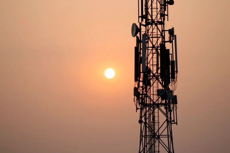
The math is brutal and honest. A single rural macro tower can cost $250,000 or more to build, plus ongoing backhaul, maintenance, and power. If the people it serves are counted in dozens rather than thousands, the return on investment never shows up. So the towers don't either.
That's why certain stretches have become legendary among road-trippers and professional drivers alike:
- I-70 through central Utah — roughly 100+ miles between Green River and the Colorado line where service disappears for long stretches.
- US-50 across Nevada — the famous 'Loneliest Road in America,' which earns the nickname on your phone's behalf too.
- I-90 in eastern Montana and Wyoming — long gaps between Billings and Rapid City where towers are few and far between.
- I-10 through west Texas — surprisingly spotty despite being a major east-west artery, especially between Fort Stockton and El Paso.
- US-2 through the Upper Peninsula of Michigan and into Montana — some of the least connected miles in the Lower 48.
- Alaska's Parks Highway — where coverage is less a promise and more a rumor.
Who Actually Drives These Roads
Here's the thing about dead zones: the people who traverse them aren't tourists taking the scenic route by accident. They're truckers hauling freight on tight schedules, RVers following retirement dreams, and delivery drivers covering territories bigger than some states.
Spend any time in a truck stop along I-80 in Wyoming or a rest area on Nevada's Highway 50, and you'll notice a ritual. Drivers step out of their cabs, hold their phones up at various angles like divining rods, and wait for the messages queued during the last dead stretch to flood in. Texts arrive in bursts. Voicemails stack up. Hotspots fire for exactly as long as the signal holds.
The coping strategies are genuinely clever. Long-haul drivers I spoke with at a pilot travel center in Wendover, Nevada, described a whole toolkit:
CB radio never died. It turns out the 1970s technology is immune to tower gaps. Many drivers keep a CB in the truck alongside the modern dashboard full of screens, partly for chatter and partly as a genuine safety lifeline.
Offline everything. Downloaded maps, downloaded podcasts, downloaded playlists. The drivers who survive dead zones happily are the ones who stopped trusting streaming years ago.
Signal maps as folklore. There's an entire subculture of crowdsourced coverage maps — apps where drivers log dead zones in real time, warning each other about the 60-mile gap ahead the way truckers once warned about speed traps.
Satellite messengers. Garmin inReach devices and SPOT trackers have quietly become standard safety equipment for anyone running remote routes, because 'no signal' hits differently when you're having a medical emergency in the Nevada desert.
Why the Gaps Never Got Filled
The economics explain most of it, but not all. Coverage obligations from old spectrum licenses, terrain that eats radio signals, permitting fights over tower placement on tribal and federal land — all of it adds friction. And the carriers, rational actors that they are, build where the subscribers are.
There's also a policy gap. Federal programs like the Rural Digital Opportunity Fund and various USDA broadband initiatives have poured billions into rural fixed broadband — the fiber and fixed wireless that connect homes. Highway corridors, which serve transient populations rather than residents, fall into a strange no-man's-land. Nobody's constituents live at mile marker 212.
States have tried to nudge things along. Several have passed laws streamlining tower permitting along interstates, and a handful of state DOTs have partnered with carriers on corridor coverage projects. But progress is measured in single towers per year, not per mile.
The Satellite Wildcard
Which brings us to the technology that could rewrite this whole story: direct-to-cell satellite service. SpaceX's Starlink, working with T-Mobile, has been rolling out texting from space, with voice and data promised to follow. AST SpaceMobile and Globalstar (Apple's satellite partner) are chasing the same goal — phones that talk to orbiting satellites instead of ground towers.
The implications for dead zones are enormous. A satellite constellation doesn't care that a stretch of I-70 runs through empty canyon country. Coverage arrives from above, uniformly, without a single permit hearing. Early tests have shown basic texting working in places where no terrestrial signal has ever reached.
The caveats are real, though. Early direct-to-cell bandwidth is modest — think texts and emergency messages, not Netflix. Line-of-sight to the sky matters, so deep canyons and dense forests remain problem areas. And pricing, capacity, and carrier partnerships are all still shaking out.
But the direction is unmistakable. Within a few years, the notion that a highway corridor could be truly silent may feel as dated as a payphone.
Until Then, Plan Like a Trucker
If your summer route includes any of America's signal deserts, borrow from the professionals. Download your maps before you leave cell range. Tell someone your route and your check-in points. Consider a satellite messenger if you're traveling alone through genuinely remote country. And maybe — just maybe — enjoy the silence.
There's something almost radical about two hours without a notification. The Utah desert doesn't care about your email. The radio plays, the road unspools, and for a little while, you're unreachable in the way Americans almost never are anymore.
Just keep the CB handy. Some habits are worth keeping.